Drone-assisted mining surveys
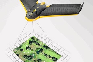
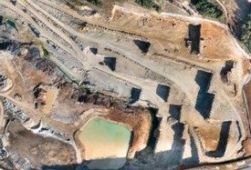
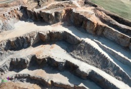
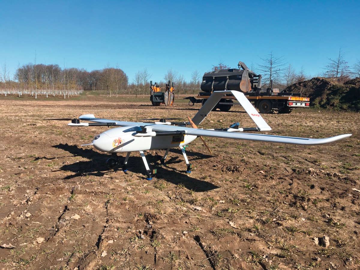
Over the past few years, mine surveying with the aid of unmanned aerial vehicles (UAVs) has emerged as a novel mapping technique in which drones are used to obtain images for photogrammetric analysis and extraction of precise 3D data. The process is particularly well suited and economical for surface mines, landfills and stockpiles.
There are two basic kinds of drones: planes and multicopters. Depending on the intended range of application, such aerial vehicles each have their respective benefits and drawbacks (Table 1).
UAV surveying quickly yields precise, versatile data. Since “consumer-grade” high-speed computers and powerful evaluation algorithms have become generally available, the UAV approach has come into widespread use for routine surveying activities. Increasingly, the surveying required for generating site plans, e.g., for building permit applications, is shifting away from the field environment in favour of the PC monitor.
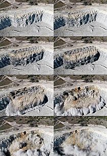
Surface mines with areas of the order of 1 km² used to require an entire day to survey and map. Now, though, a flight controller can finish the job in all detail in less than two hours. Numerous images are captured along a precisely specified flight path according to a pattern that ensures substantial overlap. Then, in a complicated computing process that can take several hours, three-dimensional ground points are calculated, whereas the following degrees of accuracy are achievable:
position accuracy: approx. 5 cm (dependent on ground control point accuracy)
elevation accuracy < 10 cm (dependent on flying altitude, overlap and number of images, plus ground control point position and accuracy)
From the resultant point cloud, with a dot pitch of just a few centimetres, rectified, true-to-scale orthoimages are calculated to show both the mine’s up-to-date working status and 3D models for quantity surveys. The 3D rendering can be given to the mining company for presentation purposes.
//www.markscheider-kuhn.de" target="_blank" >www.markscheider-kuhn.de:www.markscheider-kuhn.de